

At a glance
| Route | Best for | Est. Time |
|---|---|---|
| Roaring Fork | First-timers & families, shortest option | 1-2 hrs |
| Greenbrier | Quiet, off-the-beaten-path | 40 min |
| Cades Cove | Wildlife & history, most popular | 4-5 hrs |
| Cherokee, NC | High-elevation views, full day out | 5-6 hrs |
| Douglas Lake | Lake views, relaxed pace | 1-2 hrs |
| Foothills Parkway | Quick overlook stop, less traffic | 45 min-1 hr |
| Newfound Gap & Kuwohi | Highest point in the Smokies | 2-3 hrs |
| Elkmont Historic District | History buffs, quiet drive | 1-2 hrs |
| Townsend & Foothills Pkwy West | Longest scenic stretch, avoids crowds | 3-4 hrs |
Street-legal, no permit needed: every route above is a public road you can drive yourself in one of our street-legal UTV rentals, no guide required. Looking for real off-road terrain instead? See our guided off-road UTV and ATV tours.
Top Gatlinburg UTV Trails & Scenic Routes
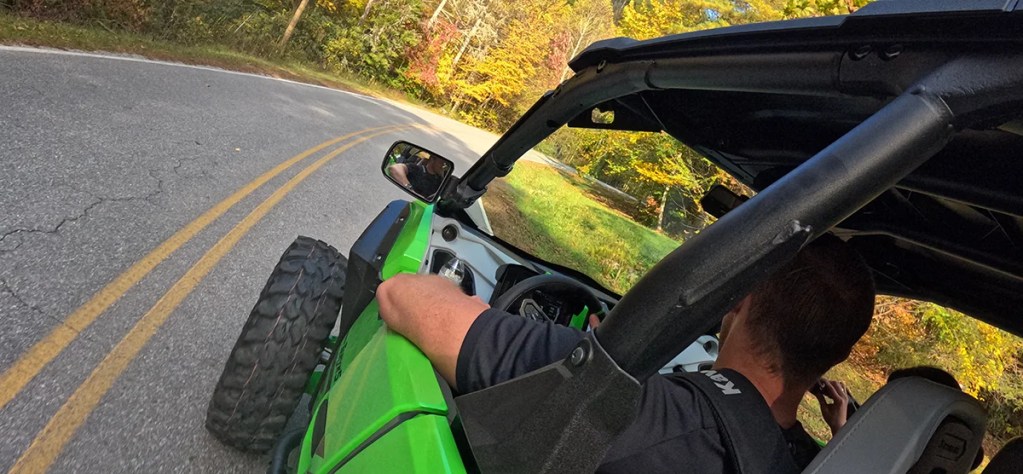
Before you go: These are self-drive routes around Gatlinburg and the Smoky Mountains. Each route includes a quick overview and an estimated drive time (times are approximate and can vary with stops). If you’d like to explore a route in a UTV, click “Start Exploring” to choose your UTV and get rolling.
Looking for utv trails away from the crowds? Jump down below to explore our exclusive routes.
#1) Roaring Fork Motor Trail
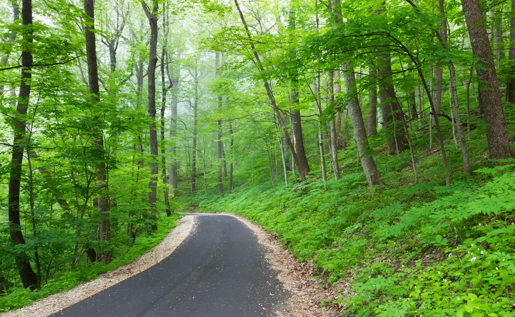
The Roaring Fork Motor Nature Trail is a scenic, 5.5 to 6-mile one-way loop road near Gatlinburg in the Great Smoky Mountains National Park, featuring old-growth forests, rushing streams, and well-preserved historic log cabins and gristmills.
The narrow, winding, paved road is a popular, leisurely drive that takes about 1-2 hours, offering access to popular hiking trails like Grotto Falls and Rainbow Falls. This is a seasonal route that is open from April through November.
Est. Time
1-2 Hours
Open in Google Maps
#2) Greenbrier
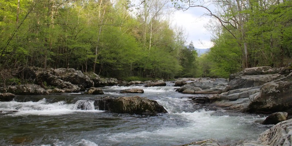
From our Gatlinburg location, Greenbrier is just six (6) miles east on Highway 321, directly across from Hungry Bear BBQ. This quiet corner of the Smoky Mountains offers scenic dirt and gravel roads that wind alongside the river and through lush forest. Even when Gatlinburg is crowded, Greenbrier remains less busy.
Known for its old-growth cove forests, spring wildflowers, and excellent fishing along the Middle Fork of the Little Pigeon River, Greenbrier also features a peaceful picnic area and access to iconic trails, including the challenging 8-mile hike to Ramsey Cascades.
Est. Time
40 minutes
Open in Google Maps
#3) Cades Cove
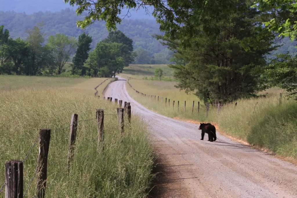
To begin your journey to Cades Cove, you’ll travel back through the city of Gatlinburg before heading into the mountains. Once beyond town, the road follows a peaceful creek, creating a scenic drive all the way to the cove. Cades Cove is a popular tourist destination, featuring an 11-mile, one-way loop road that winds through a broad valley at the base of the mountains.
Spanning 6,800 acres, the cove is renowned for wildlife viewing, including black bears, deer, and wild turkeys, as well as its history, with preserved 19th-century cabins, churches, and a working gristmill to explore along the route.
Check out the full experience
Est. Time
4-5 Hours
Open in Google Maps
#4) Cherokee, NC
To reach Cherokee, you’ll head back through Gatlinburg and continue straight on Highway 441, climbing deep into the Smoky Mountains. Instead of turning toward Cades Cove, the road winds past iconic high-elevation stops like Newfound Gap and Clingmans Dome, making this one of the most scenic drives around Gatlinburg. The roughly 50-minute ride delivers sweeping mountain views, cool elevations, and frequent wildlife sightings.
Cherokee sits at the southern gateway to the Smoky Mountains National Park and is the cultural heart of the Eastern Band of Cherokee Indians. Set along the Oconaluftee River, it combines Native American history, outdoor adventure, and entertainment, with riverside restaurants, attractions, Mingo Falls, and Harrah’s Cherokee Casino all within easy reach.
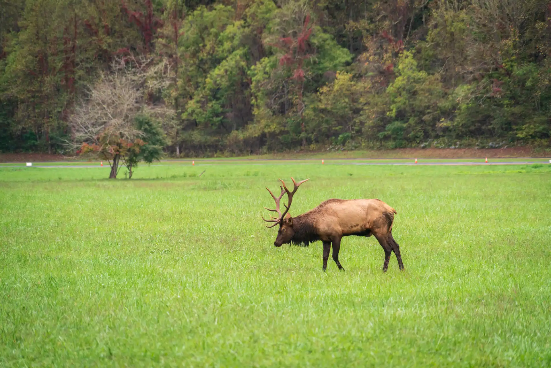
Right at the edge of town, the Oconaluftee Visitor Center is one of the best places in the park to see wild elk grazing in the meadow, especially early morning or the last hour or two before sunset (stay at least 150 feet back, it’s the law).
Check out the Gatlinburg to Cherokee UTV drive
Est. Time
5-6 Hours
Open in Google Maps
#5) Douglas Lake
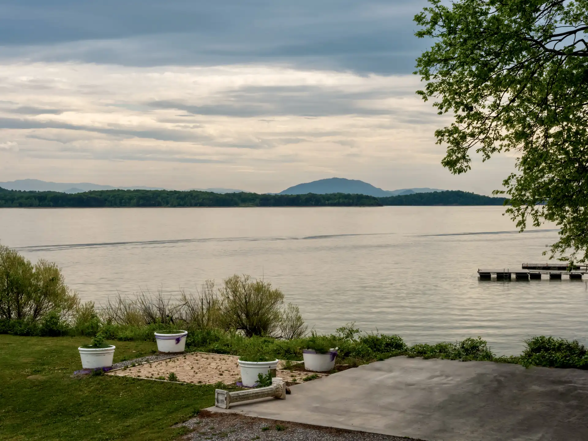
Douglas Lake, also known as Douglas Reservoir, is a sprawling TVA lake in East Tennessee located at the foothills of the Great Smoky Mountains, just a short drive from Gatlinburg and Pigeon Forge. Created in 1943 for hydropower and flood control, the lake covers more than 30,000 acres and features over 550 miles of scenic shoreline formed by the French Broad and Pigeon Rivers.
Surrounded by rolling hills and mountain views, Douglas Lake is a popular destination for boating, fishing, especially for crappie and large mouth bass, camping, swimming, and picnicking. With seasonal water-level changes and more than 1.7 million visitors each year, it offers a dynamic, outdoor-focused experience near the Smokies.
*Please DO NOT drive out on the lake.
Est. Time
1-2 Hours
#6) Foothills Parkway
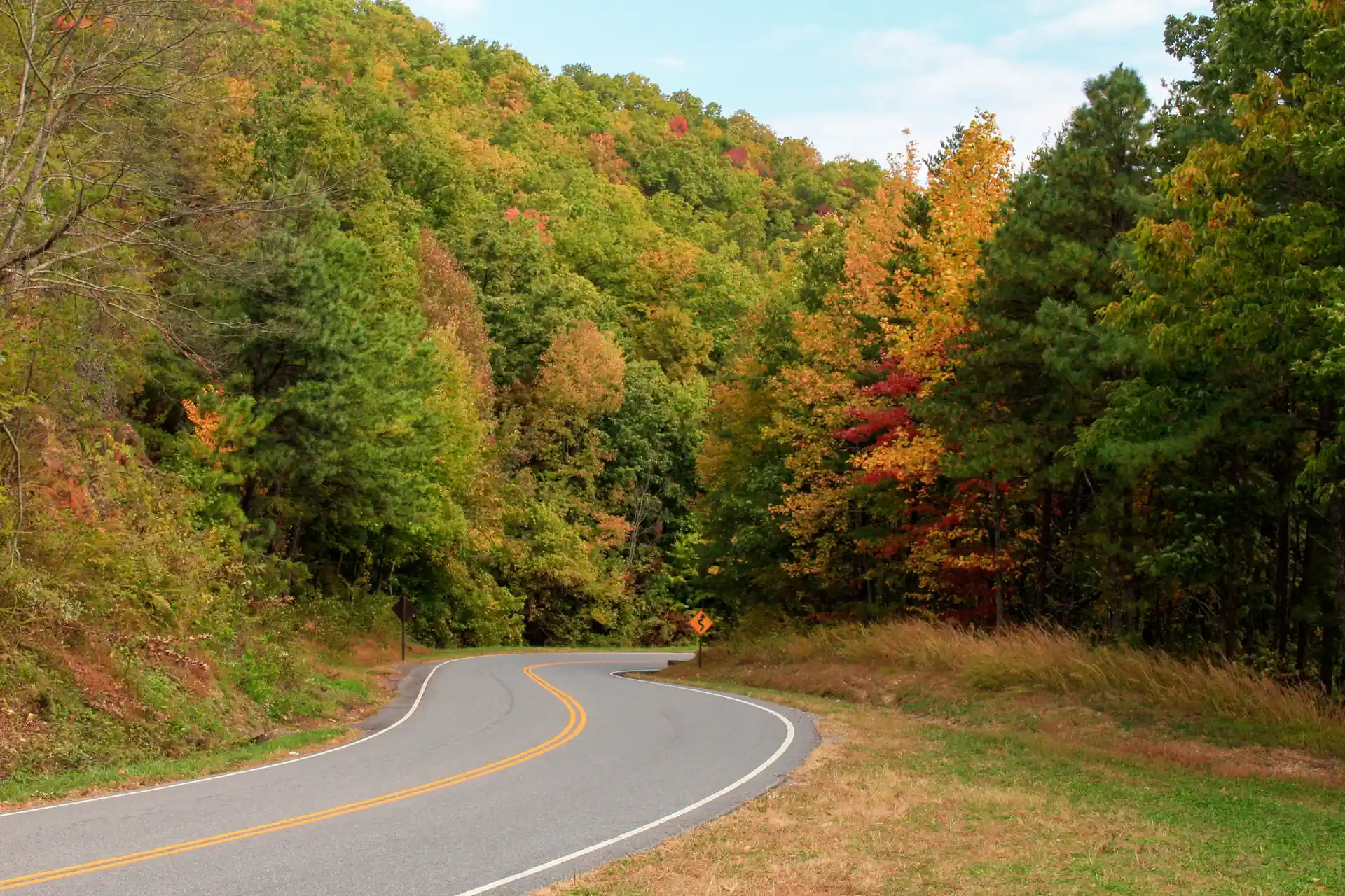
Foothills Parkway isn’t one continuous road. Of the 72-mile corridor originally planned along the western edge of the Great Smoky Mountains, only a few sections are open today. The stretch closest to Gatlinburg is Foothills Parkway East, a 5.6-mile drive connecting Cosby (off US-321) to I-40 near Hartford, about 20-25 minutes from our Gatlinburg location.
It’s short, but it’s one of the quietest UTV trails near Gatlinburg: smooth, paved, and with far less traffic than the roads through the park itself. A good pick for a quick mountain-overlook stop without committing to a longer drive. (Looking for the longer 30+ mile stretch of Foothills Parkway? See Townsend below, it connects from there instead.)
Est. Time
45 min – 1 Hour
#7) Newfound Gap & Kuwohi (formerly Clingmans Dome)
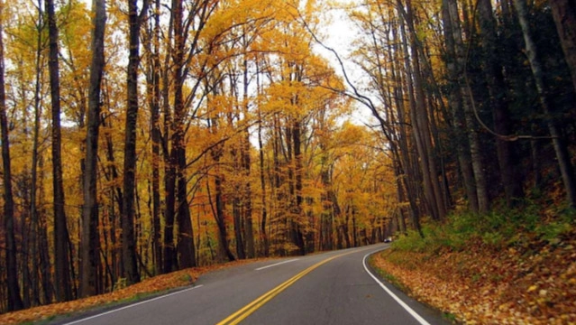
Newfound Gap Road climbs from Gatlinburg to Newfound Gap, the lowest drivable pass in the Great Smoky Mountains National Park at 5,046 feet. From there, Kuwohi Road (recently renamed from Clingmans Dome Road) climbs another 7 miles to the base of Kuwohi, the highest point in the park at 6,643 feet, the highest point in Tennessee, and the highest point on the Appalachian Trail. Kuwohi Road closes to vehicles every year from December 1 through March 31.
Along the way you will pass through several distinct forest zones as the elevation climbs, with pull-offs for panoramic views into both Tennessee and North Carolina. This is the same route our Cherokee, NC drive follows partway.
Est. Time
2-3 Hours
#8) Elkmont Historic District

Elkmont is a former logging town and early-1900s vacation community inside the Great Smoky Mountains National Park, about 15-20 minutes from our Gatlinburg location via Little River Road. The main access road is paved, winding along the Little River past preserved historic cabins and cottages you can walk through along the way.
It’s one of the quieter UTV trails near Gatlinburg (most visitors are hiking or photographing the old cabins rather than driving through), so plan for a relaxed pace. Elkmont is also known for its synchronous fireflies display, typically late May into early June each year (viewing requires a lottery permit through recreation.gov), worth knowing if you’re planning a late-spring trip.
Est. Time
1 – 2 Hours
#9) Townsend & Foothills Parkway West
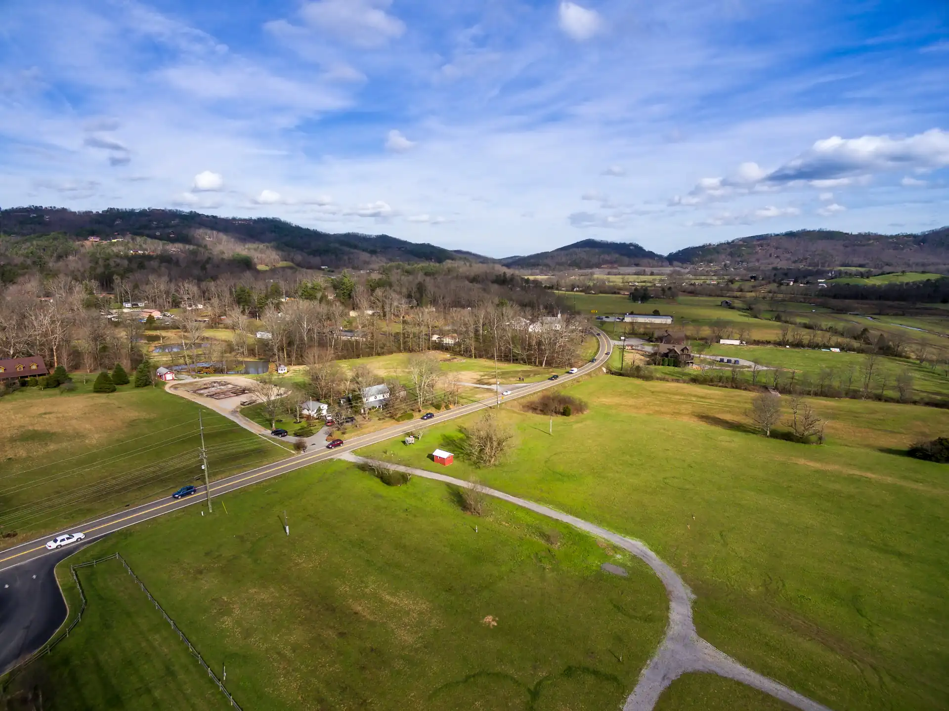
Known locally as “The Quiet Side of the Smokies”, Townsend is a small mountain town about 25 miles (roughly 40-45 minutes) from Gatlinburg with noticeably lighter traffic than the routes through downtown or Cades Cove. From Townsend, Foothills Parkway West continues as a continuous 31 to 33 mile drive from Wears Valley to Chilhowee, the longest completed stretch of Foothills Parkway, with sweeping overlooks the whole way.
Townsend is also the closest access point to Cades Cove from the west, so this pairs naturally with a longer Cades Cove UTV trail day if you want to loop back a different way than you came.
Est. Time
3 – 4 Hours
#10) Unseen Pass Exclusive Routes
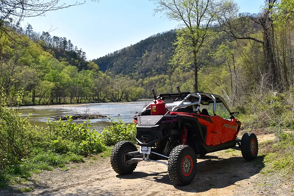
If you want something beyond the usual UTV trails, Unseen Pass exclusive routes are a great way to experience the best of the Smokies in a different way: quieter pull-offs and lesser-known spots around Gatlinburg that not many visitors ever see, plus Smoky Mountain views, forest scenery, and calm river areas. They are also a nice option if you are trying to avoid the busiest traffic zones.
Along the way, you will find places to stop, especially near the river, where you can take a break and enjoy a snack or lunch by the water with your family (chairs and cooler included). With your rental, you will get GPS route maps, and the team will show you how to use them before you head out.
Rentals options from
3h to 3 days
Quick summary:
| Route | Distance from Gatlinburg | Est. Time | Street-legal |
|---|---|---|---|
| Roaring Fork | 5 min | 1-2 hrs | Yes, paved |
| Greenbrier | 6 miles east | 40 min | Yes, gravel/dirt |
| Cades Cove | 25 miles | 4-5 hrs | Yes, paved |
| Cherokee, NC | 50 miles | 5-6 hrs | Yes, paved |
| Douglas Lake | 30 min | 1-2 hrs | Yes, paved (do not drive on the lake) |
| Foothills Parkway | ~20-25 min | 45 min-1 hr | Yes, paved |
| Newfound Gap & Kuwohi | ~45 min (+7 mi to summit) | 2-3 hrs | Yes, paved (Kuwohi Rd closed Dec 1-Mar 31) |
| Elkmont Historic District | ~15-20 min | 1-2 hrs | Yes, paved |
| Townsend & Foothills Pkwy West | ~40-45 min | 3-4 hrs | Yes, paved |
How far is Gatlinburg from nearby attractions?
How far is Pigeon Forge from Gatlinburg?
How far is Pigeon Forge from Gatlinburg?
About 5 miles from Gatlinburg, roughly 10-15 minutes by car. The two towns are connected by the Parkway so you can combine both in one day. Many visitors rent a UTV in Gatlinburg and cruise over to Pigeon Forge as part of their adventure.
How far is Sevierville from Gatlinburg?
Approximately 12 miles from Gatlinburg, about 20–25 minutes north on US-441. It’s the gateway city to the Smokies and home to Dollywood’s neighboring area.
How far is Knoxville from Gatlinburg?
Around 35 miles from Gatlinburg, about 45-55 minutes via US-441 N.
How far is Cades Cove from Gatlinburg?
25 miles from Gatlinburg, about 45–60 minutes by car. It’s one of our most popular UTV driving routes — check out the full Cades Cove experience. Plan 4–5 hours for the round trip.
How far is Clingmans Dome from Gatlinburg?
23 miles from Gatlinburg, about 45 minutes along Highway 441 through the national park. The road to the summit adds another 7 miles and is closed in winter. It passes through the same route as our Cherokee driving trail.
Are Gatlinburg UTV trails street-legal?
Yes. All the routes on this page are public roads that a street-legal UTV can legally drive. No special permit is required.
Do I need a permit to drive a UTV on Gatlinburg’s trails?
No. You do not need a special backcountry permit or license. These are public roads and scenic byways open to all street-legal vehicles. Our UTVs are fully registered, insured, and equipped for the road, so you can drive them legally without any extra paperwork.
Plus, as part of your rental with us, we include a free parking pass for the Great Smoky Mountains National Park, so you can stop at scenic overlooks and trailheads without worrying about parking fees.
What is the best UTV trail near Gatlinburg for beginners or families?
Roaring Fork Motor Nature Trail: it’s short (5.5-6 miles), fully paved, well-marked, and only 1-2 hours round trip, making it the easiest of the Gatlinburg UTV trails for first-timers and families. New to driving a UTV? Check out our first-time UTV driving tips before you go, and if you’re bringing kids, see our UTV safety guide for kids.
Can I drive the Cades Cove Loop or Newfound Gap Road in a UTV myself?
Yes. Both are self-guided, street-legal drives with no guide required. Rent a UTV from us and drive them at your own pace.

Whichever Route Caught Your Eye, It’s Ready to Drive
From Roaring Fork to Kuwohi, every route on this page is ready to explore in one of our street-legal UTVs. No guide and no special experience required.
- Rentals from 3 hours to a 3 days
- GPS route maps included
- Street-legal, no permit needed

4 Responses